

Introduction of What is Navigational Equipment
What is Navigational Equipment? ~ Navigational equipment has been a cornerstone of human exploration, guiding ships across oceans and aircraft through the skies. From the early use of the magnetic compass to today’s advanced GPS systems, navigational tools have continuously evolved to improve safety, accuracy, and efficiency in travel.
But what exactly is navigational equipment, and why is it so important in modern transportation? This article explores the definition, types, and functions of navigational equipment, focusing on its crucial role in maritime and aviation industries.
What is Navigational Equipment?
Navigational equipment refers to instruments and systems used to determine the position, direction, and movement of a vessel or aircraft. These devices help operators plan routes, avoid obstacles, and ensure safe journeys from one location to another.
In simpler terms, navigational equipment answers three essential questions:
- Where are we?
- Where are we going?
- How do we get there safely?
The Importance of Navigational Equipment
Navigation is not just about reaching a destination—it’s about doing so efficiently and securely. Navigational equipment plays several important roles:
- Safety: Prevents collisions, groundings, and getting lost.
- Efficiency: Ensures optimal routes, saving fuel and time.
- Regulatory Compliance: Ships and aircraft must be equipped with specific navigational tools as per international standards.
- Communication: Some equipment integrates with communication systems to coordinate with control towers or port authorities.
Types of Navigational Equipment
1. Traditional Navigational Instruments
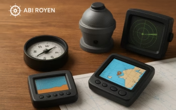
- Magnetic Compass: One of the oldest tools, providing directional reference relative to Earth’s magnetic field.
- Sextant: Historically used for celestial navigation by measuring the angle between celestial objects and the horizon.
2. Modern Maritime Navigational Equipment
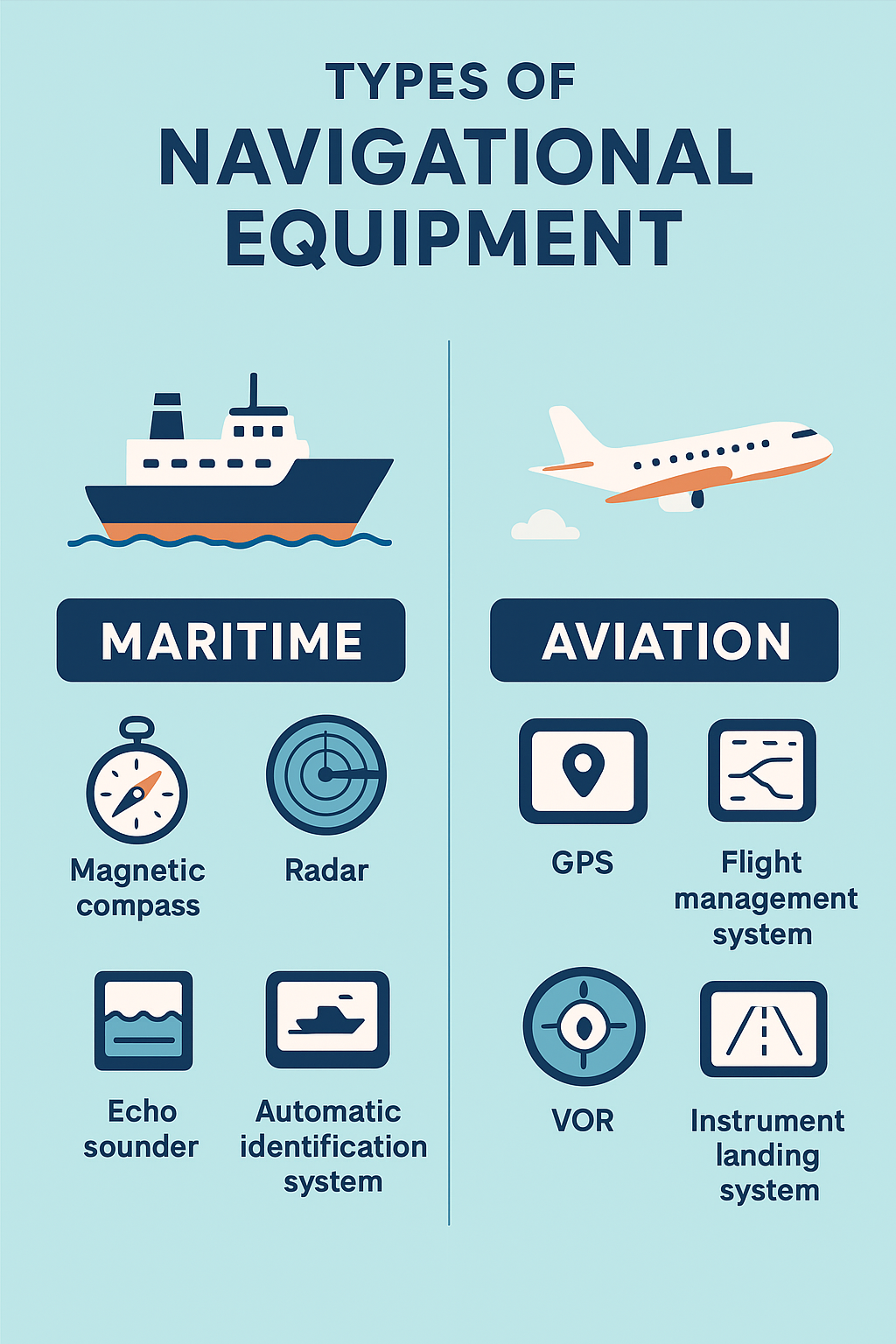
Ships today are equipped with highly sophisticated systems, including:
- Global Positioning System (GPS): Provides accurate real-time location data.
- Radar (Radio Detection and Ranging): Detects objects and other vessels, especially in low-visibility conditions.
- Echo Sounder: Measures the depth of water beneath a ship to prevent grounding.
- Automatic Identification System (AIS): Transmits a vessel’s position, speed, and course to nearby ships and authorities.
- Gyrocompass: Unlike the magnetic compass, it provides true north readings unaffected by magnetic interference.
- Electronic Chart Display and Information System (ECDIS): A digital navigation chart system that enhances route planning and monitoring.
3. Aviation Navigational Equipment
Aircraft rely on specialized instruments to navigate through different altitudes and weather conditions:
- Flight Management System (FMS): Automates route planning and navigation using databases and GPS input.
- VOR (VHF Omnidirectional Range): Provides radio-based navigation signals for aircraft.
- Instrument Landing System (ILS): Assists pilots in landing during poor visibility.
- Inertial Navigation System (INS): Calculates position using motion sensors without external signals.
- Air Data Computer (ADC): Provides essential flight data such as altitude, airspeed, and pressure.
Comparison Between Maritime and Aviation Navigational Equipment
While both industries share the goal of safe navigation, their tools differ due to the environment:
| Aspect | Maritime Navigation | Aviation Navigation |
|---|---|---|
| Medium | Sea/Oceans | Airspace |
| Key Equipment | Compass, Radar, AIS, ECDIS, Echo Sounder | GPS, FMS, VOR, ILS, INS |
| Challenges | Weather, tides, shallow waters, collisions | Altitude, weather turbulence, runway approach |
| Primary Users | Ship captains, navigators | Pilots, air traffic controllers |
Technological Advances in Navigational Equipment
The digital era has transformed navigation. Some key advancements include:
- Satellite Navigation (GNSS): Enhanced accuracy with systems like GPS, GLONASS, Galileo, and BeiDou.
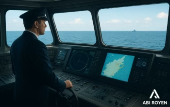
- Integrated Bridge Systems (IBS): Combines multiple maritime navigation tools into one control panel.
- Autonomous Navigation: Emerging AI-powered systems that allow unmanned ships and drones to navigate independently.
- Augmented Reality (AR) Displays: Used in modern cockpits and ship bridges to overlay real-time navigation data.

International Regulations for Navigational Equipment
Organizations like the International Maritime Organization (IMO) and the International Civil Aviation Organization (ICAO) mandate the use of specific navigational systems. For example:
- Ships over 300 gross tons must carry AIS and ECDIS.
- Commercial aircraft must have standardized flight navigation instruments.
Compliance ensures global safety and interoperability across borders.
Future of Navigational Equipment
Looking ahead, navigational technology will become more automated, sustainable, and data-driven. We can expect:
- AI-Assisted Navigation: Real-time decision-making using predictive algorithms.
- Green Navigation: Optimizing routes to reduce emissions and fuel consumption.
- Cybersecurity Enhancements: Protecting digital navigation systems from cyber threats.
These advancements will continue to redefine the future of global transportation.
Conclusion of What is Navigational Equipment
Navigational equipment is the backbone of safe and efficient travel by sea and air. From the humble compass to AI-driven systems, these tools guide ships and aircraft across the globe with precision and reliability.
Whether in maritime shipping or aviation, the future of navigational equipment promises greater safety, smarter technology, and greener operations. Understanding what navigational equipment is and how it works not only highlights its importance but also prepares us for the innovations yet to come.