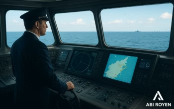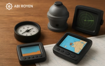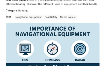


Navigation is one of the most critical aspects of maritime operations. A ship’s ability to travel safely and efficiently from one port to another relies heavily on precise and reliable navigational systems. In modern seafaring, navigational equipment has advanced from traditional compasses and sextants to sophisticated electronic systems powered by satellites and sensors.
This article explores the different types of navigational equipment used on board modern vessels, their functions, and why they are indispensable in today’s maritime industry.
1. What is Navigational Equipment?
Navigational equipment refers to a range of instruments and systems that help guide a ship safely from one location to another. These tools assist in determining the vessel’s position, direction, speed, and surrounding environment. They are crucial for route planning, collision avoidance, and safe operation, especially in adverse weather conditions or congested waters.
2. Importance of Navigational Equipment
- ✅ Safety of Life at Sea (SOLAS) compliance
- ✅ Preventing collisions, groundings, and other maritime accidents
- ✅ Efficient voyage planning and fuel consumption
- ✅ Ensuring accurate timekeeping and positioning
- ✅ Enabling communication with other vessels and maritime authorities
Inaccurate or faulty navigation can lead to disastrous consequences, making reliable navigational equipment a legal and operational necessity.
3. Primary Types of Navigational Equipment
Here are the key types of navigational equipment found on modern vessels:
a. Navigational Equipment: Magnetic Compass
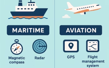
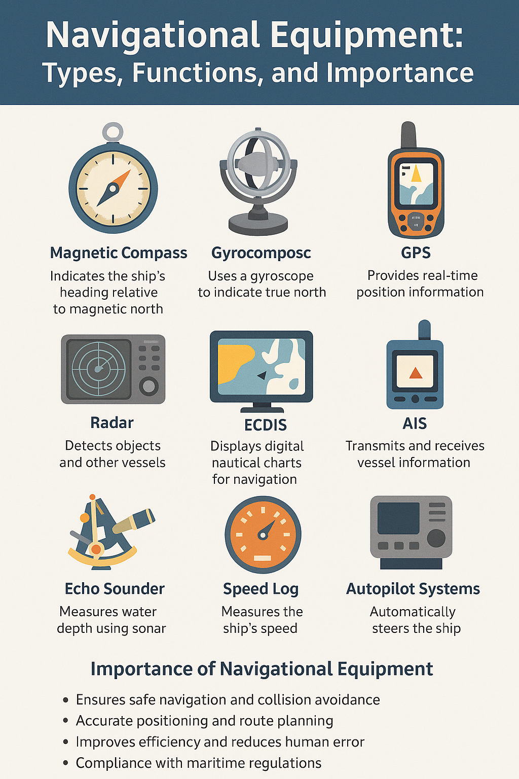
A traditional yet essential tool, the magnetic compass indicates the ship’s heading relative to the magnetic north. Though electronic systems are now dominant, the magnetic compass serves as a vital backup in case of power failures.
b. Navigational Equipment: Gyrocompass
Unlike the magnetic compass, the gyrocompass points to true north by using the principles of a gyroscope. It provides accurate heading data and is not affected by magnetic interference, making it ideal for modern navigation.
c. Radar (Radio Detection and Ranging)
Radar is used to detect and track objects around the ship, including other vessels, landmasses, and navigational buoys. It is crucial for situational awareness, especially in low visibility conditions such as fog or night.
d. GPS (Global Positioning System)
GPS is the backbone of modern navigation. It provides real-time location data using satellite signals. GPS allows for precise positioning, which is vital for route tracking, docking, and offshore operations.
e. ECDIS (Electronic Chart Display and Information System)
ECDIS replaces traditional paper charts with digital displays and integrates position data from GPS. It enhances route planning, alerts the crew of potential hazards, and meets IMO carriage requirements for SOLAS vessels.
f. AIS (Automatic Identification System)
AIS transmits the vessel’s position, speed, course, and identity to nearby ships and coastal stations. It’s critical for collision avoidance and tracking ship movements.
g. Echo Sounder
This instrument measures the depth of the water beneath the vessel using sonar technology. It helps prevent groundings and is essential during docking or navigating shallow waters.
h. Speed Log
A speed log measures the ship’s speed through water or over ground. Combined with GPS, it provides essential information for fuel efficiency and accurate ETA calculations.
i. Sextant
Though rarely used today, the sextant remains a useful backup tool for celestial navigation in case of total electronic failure. It measures the angle between a celestial object and the horizon.
j. Anemometer
Used to measure wind speed and direction. Important for route planning and ship handling, particularly during berthing and in severe weather conditions.
k. Navigational Equipment: Autopilot Systems
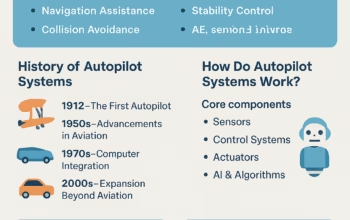
Autopilot systems steer the vessel along a preset course. They reduce the workload of helmsmen and are integrated with GPS and gyrocompasses for automatic course correction.
4. Integrated Bridge Systems (IBS)
Modern ships often use an Integrated Bridge System, which centralizes all navigational equipment into a unified interface. This integration:
- Improves operational efficiency
- Enhances safety by reducing human error
- Allows real-time data sharing between instruments
IBS includes radar, ECDIS, GPS, AIS, autopilot, and engine control systems, among others.
5. Regulations and Standards
International regulations such as SOLAS (Safety of Life at Sea) and guidelines from organizations like the International Maritime Organization (IMO) mandate the use and maintenance of specific navigational equipment. Ship operators must ensure:
- Proper calibration and testing
- Availability of spare parts and manuals
- Crew training on equipment usage
6. Maintenance and Crew Training
Even the most advanced tools are only as effective as the people operating them. That’s why:
- Routine maintenance is essential for accuracy and reliability.
- Bridge officers must undergo training and certification for safe navigation.
- Emergency procedures must include backup navigational strategies.

7. Future Trends in Navigational Equipment
As the maritime industry moves toward digitalization and automation, several trends are shaping the future of navigational equipment:
- Artificial Intelligence (AI) and Machine Learning for route optimization
- Augmented Reality (AR) overlays for enhanced situational awareness
- Remote monitoring and diagnostics
- Autonomous shipping with smart navigation platforms
These innovations promise safer and more efficient navigation while reducing crew workload.
8. Conclusion of Navigational Equipment
Navigational equipment is the heart of ship operations, combining age-old techniques with modern technology to ensure safe and efficient voyages. Whether it’s a massive cargo vessel or a small fishing boat, the right tools and trained crew are vital for navigating the world’s oceans.
As technology advances, so too must our understanding and application of these tools. For seafarers, maritime students, and shipowners, mastering navigational equipment is not just a regulatory requirement—it’s a cornerstone of maritime excellence.
✅ Summary Table of Navigational Equipment
| Equipment | Main Function | Modern Use |
|---|---|---|
| Magnetic Compass | Direction to magnetic north | Backup navigation |
| Gyrocompass | Direction to true north | Integrated in autopilot and IBS |
| Radar | Object detection | Collision avoidance |
| GPS | Precise positioning | Global navigation |
| ECDIS | Digital charts | Mandatory on SOLAS vessels |
| AIS | Ship tracking | VTS and collision avoidance |
| Echo Sounder | Water depth | Anti-grounding |
| Speed Log | Speed measurement | Fuel and time efficiency |
| Sextant | Celestial navigation | Backup method |
| Anemometer | Wind speed/direction | Weather response |
| Autopilot | Automatic steering | Reduces manual steering |